V 3
Aerial photos - digital orthophotos
With us you get aerial photos or digital orthophotos.
Important notes
Prerequisites
no
Documents required
no
Please note
no
Deadlines
no
Procedure & Fees
Procedure
- Telephone orders are not possible
- Orders are only accepted by mail, fax or e-mail
- The documents are sent by post or as a PDF by email
Fees
Please let us inform you about the amount of the fee by telephone.
Legal notes
Legal remedies
no
Legal basis
no
Downloads & Links
Forms and downloads
Links on hamburg.de
Service description
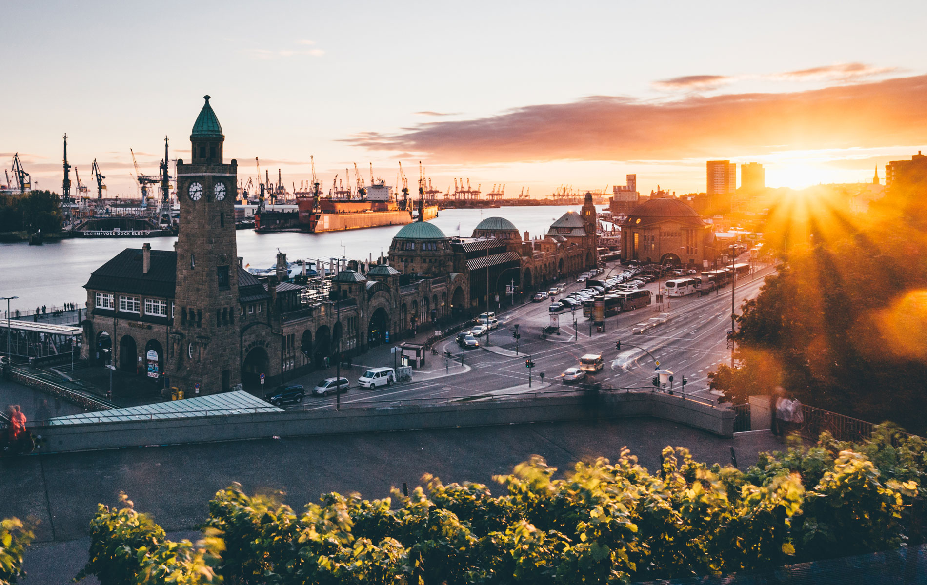
The Landesbetrieb Geoinformation und Vermessung (LGV) regularly has colored aerial photos (RGBI) taken of the entire city area.
A spring survey is currently being carried out annually for the whole of Hamburg.
At irregular intervals, the data is supplemented by a summer flight with foliage.
Mosaiced and georeferenced, color digital orthophotos with different resolutions and tile sizes are produced from the aerial photographs.
Orthophotos are geometrically rectified images based on a digital terrain model that combine the appearance of an aerial photograph with the geometric properties of a map.
Because they are also in digital form, they can be displayed at different scales and used like a map.
For the highest demands on the recognition of details, we offer the data in a ground resolution of 20 cm (1km x 1km).
Digital orthophotos can be used in many ways.
In combination with digital cartographic data, content and geometric information can be extracted from the images.
In geographic information systems, they offer an interesting and, above all, informative background.
The digital orthophotos for the entire area of the FHH are available for download in JPEG (+ JGW, RGB) format in the transparency portal (see link).
Other formats can be provided upon request.
In addition, TrueDOPs are available, which can be provided on request.
In contrast to aerial photos or classic orthophotos, a digital TrueOrthophoto is corrected at every point. In this way, a georeferenced and true-to-plan image is possible.
Oblique aerial photographs are also available.
Address and contact information
Address
V 3
Remote sensing and spatial reference
Neuenfelder Straße 19 21109 Hamburg
Send email
Opening hours
Mon-Wed 8 a.m.-1 p.m., Thu 8 a.m.-4 p.m., Fri 8 a.m.-1 p.m.
Facility info
| Accessible |
We have a limited number of customer parking spaces. To reserve a parking space, please contact our receptionist by e-mail at zugang@bsw.hamburg.de or by telephone on +49 40 428 40 - 50 50. Our working hours are: Monday to Thursday from 8:00 a.m. to 3:15 p.m , Friday from 8 a.m. to 1:30 p.m.
Public transport
S3/S31 Wilhelmsburg, Bus 13/151/152/154/156//155/252 Inselpark
Keywords: Orthophotos, digital DOP Aerial view Photogrammetry / aerial photo evaluation Angled view Oblique aerial view TrueDOP
Last updated: 16.05.2024